Drone Services
Professional aerial
solutions
State-of-the-art drone systems equipped with Lidar sensors and thermographic cameras, for precision inspections carried out safely and in full compliance with applicable regulations.
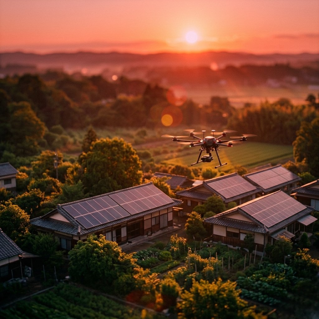
Aurora operates in the professional aerial services sector with state-of-the-art drones equipped with advanced sensors: Lidar sensors for high-precision three-dimensional surveys and thermographic cameras for thermal analysis of systems and structures.
We operate with the utmost attention to safety, ensuring precise and professional intervention in any environment — urban, industrial or natural.
We offer a comprehensive range of services, from video footage for communication to the most advanced technical applications such as digital twins and continuous environmental monitoring.
Our services
What we do with drones
Every service is planned in detail before the operation, with a preliminary site survey when necessary and delivery of structured reports.
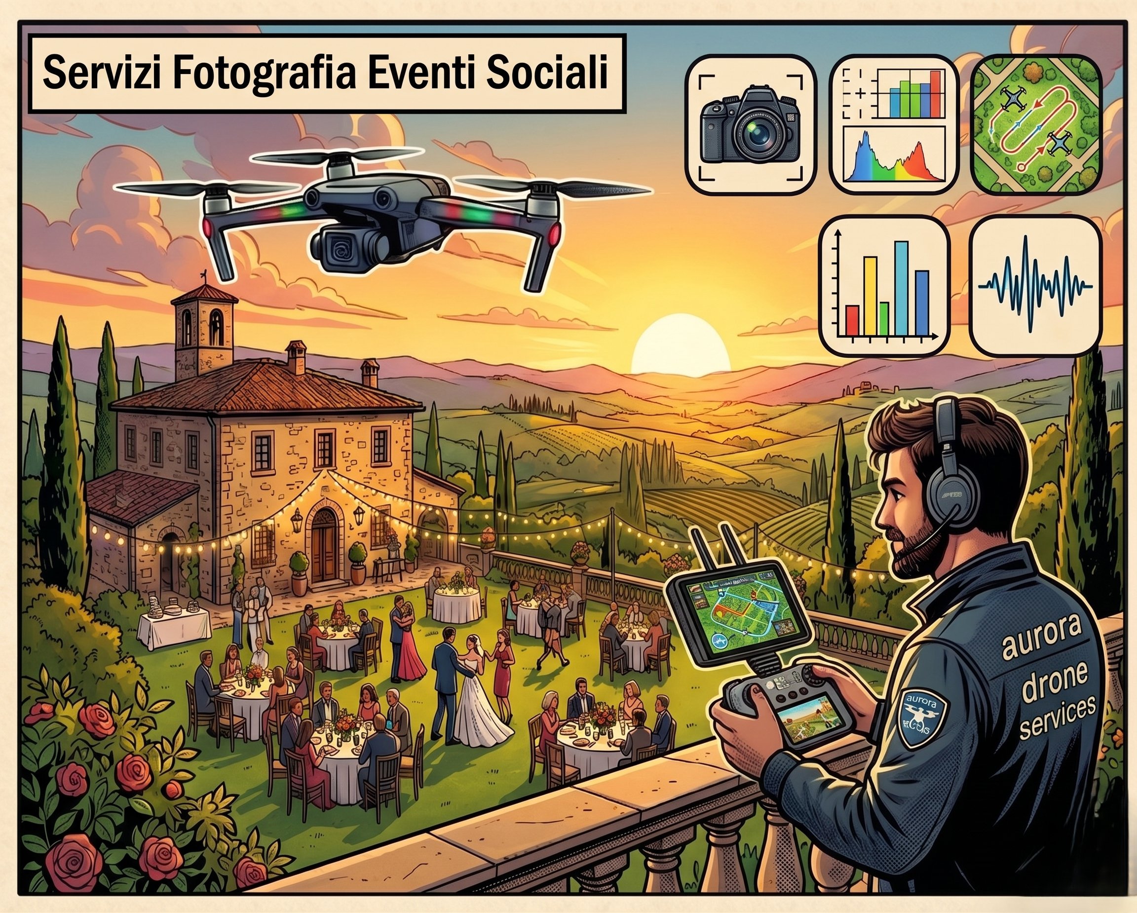
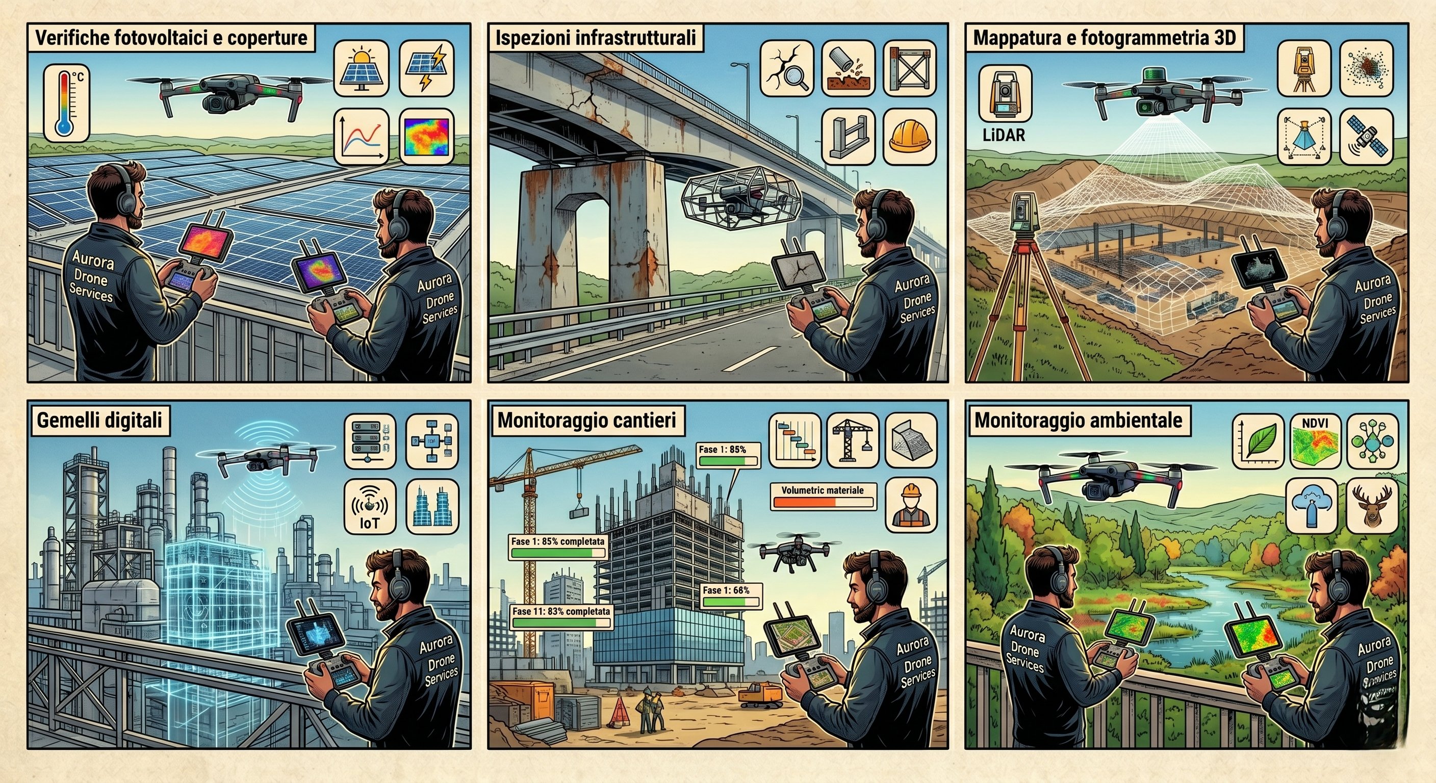
Professional aerial footage for social content, advertising campaigns, corporate videos, real estate presentations and documentaries. Flight planning designed to achieve the most effective shots for the message to be communicated. Delivery of raw material or full post-production on request.
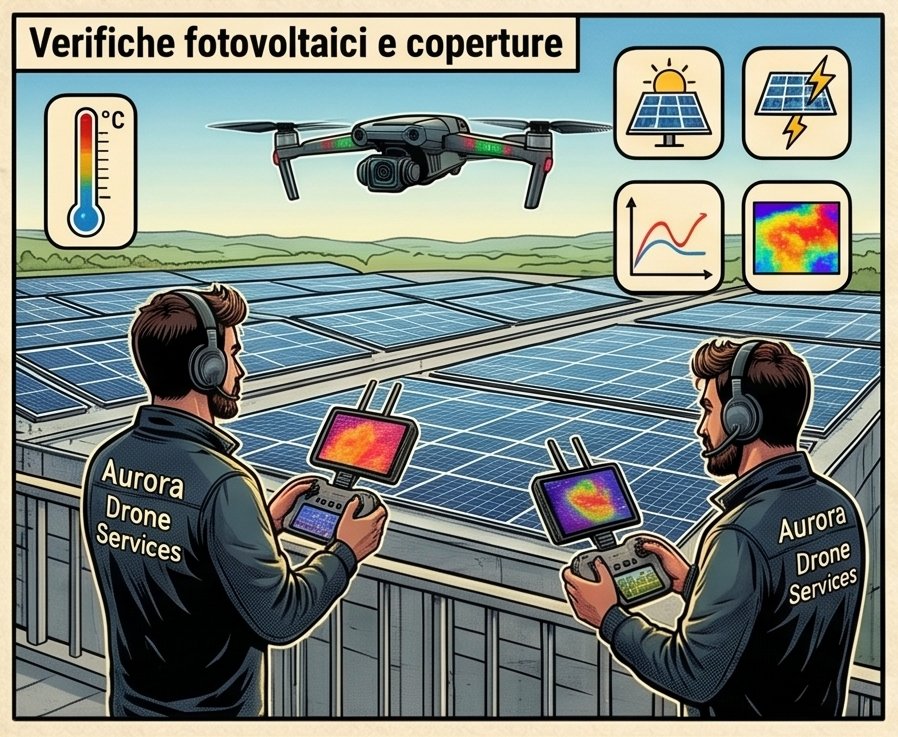
Thermographic inspection of solar panel installations to identify faulty cells, hot spots, blown bypass diodes and connection problems. Roof analysis to detect infiltrations, detachments and hidden moisture. Every intervention concludes with a detailed report including thermal maps, geolocated images and notes on identified anomalies.
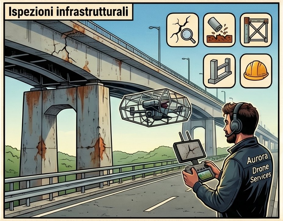
Inspection of bridges, viaducts, towers, pylons, silos, antennas, industrial chimneys and any structure that is difficult to access by traditional means. The drone allows the camera to be brought close in safely, drastically reducing costs and time compared to traditional inspections with scaffolding or industrial climbing. Ideal for structures at height or in hard-to-reach areas.
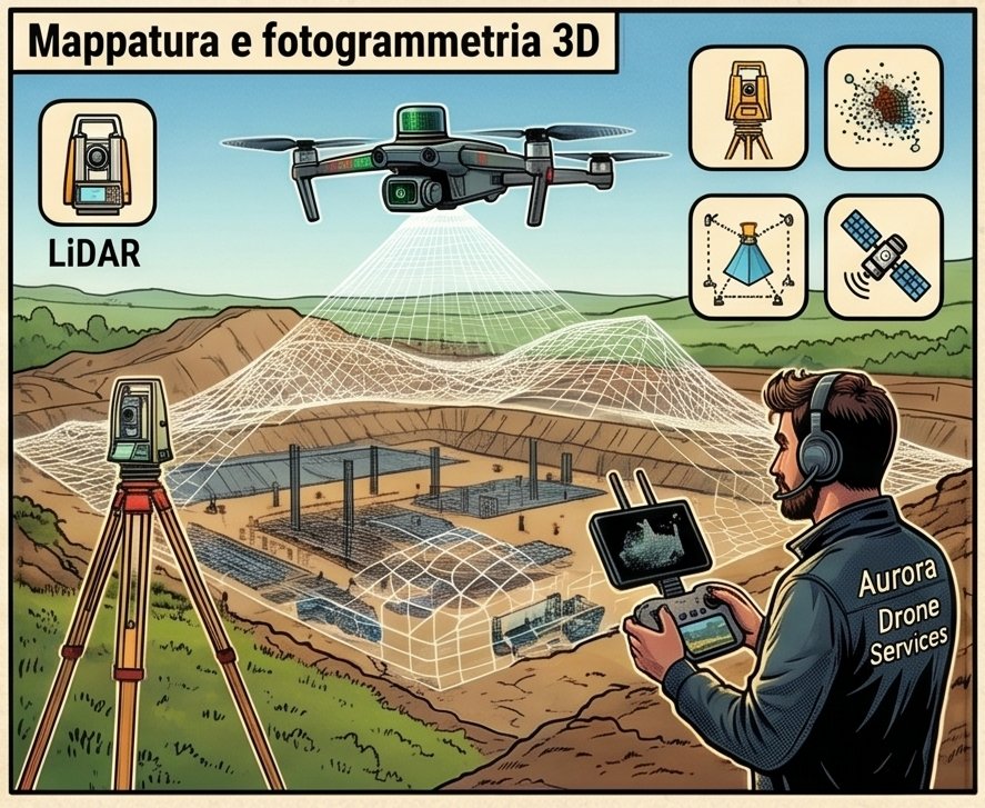
Aerial photogrammetric acquisition for creating 3D models, orthophotos and high-resolution georeferenced maps. Applications in precision agriculture, territory analysis, land registry, urban planning and site management. The 3D model delivered is compatible with the main GIS and CAD software. We use Lidar for extremely high-density point surveys even in areas with dense vegetation.

Creation of three-dimensional digital replicas of buildings, industrial plants, infrastructure and territorial areas. The updatable digital twin allows monitoring the asset's condition over time, simulating interventions and supporting predictive maintenance decisions. Particularly useful for large plants, cultural heritage and critical infrastructure requiring periodic monitoring.
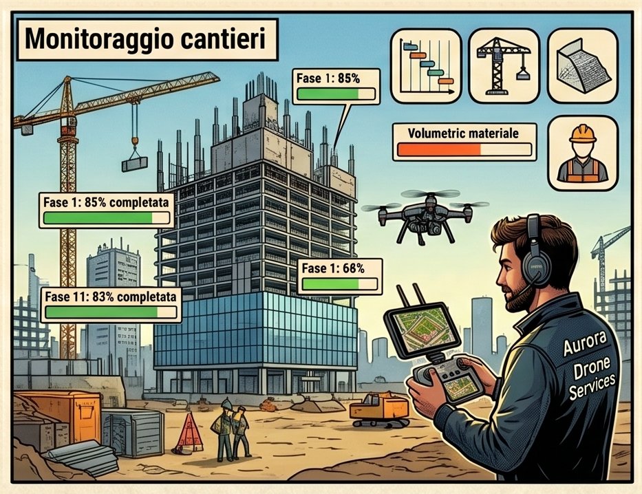
Periodic aerial surveys of civil and building construction sites to monitor work progress, control excavation and backfill volumes, certified photographic documentation and site safety. Georeferenced images and 3D models updated over time allow comparing the actual state against the project design and identifying deviations promptly.
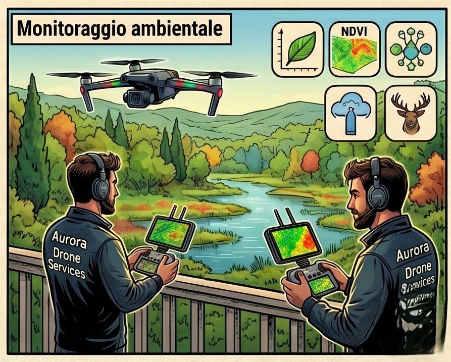
Surveillance and monitoring of ecosystems, waterways, landfills, reclamation areas, coastlines and protected natural areas. Detection of unauthorised discharges, mapping of hydrogeological instability areas and support for environmental studies. The collected data can be integrated with GIS platforms for longitudinal analysis over time.
Need a drone service?
Contact us for a no-obligation quote. We analyse your needs and propose the most suitable solution, with clear timelines and costs.
Request a quote →